Put a bridge, water-absorbing plants, custom rain gauges, and water level markings on it!

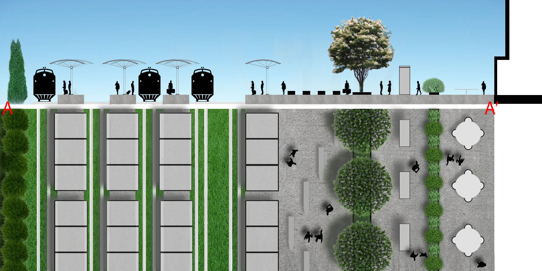
After: A market scene can be possible with the extended boardwalk in the longer term vision. Here, custom rain gauges can be seen built into the railing. Colorful grates mark the boardwalk so visitors can look down to see the plants below.
The Boston Society of Landscape Architects held a competition looking for tactical urbanism solutions and long term solutions for a particular intersection of the East Boston Greenway. My co-civic innovator, Thu Ngan Han, and I used the opportunity to do a quick design charrette and come up with some short term tactical solutions and long term adaptable solutions. We are eager for change, creative thinking, community action, climate awareness, and environmental appreciation.
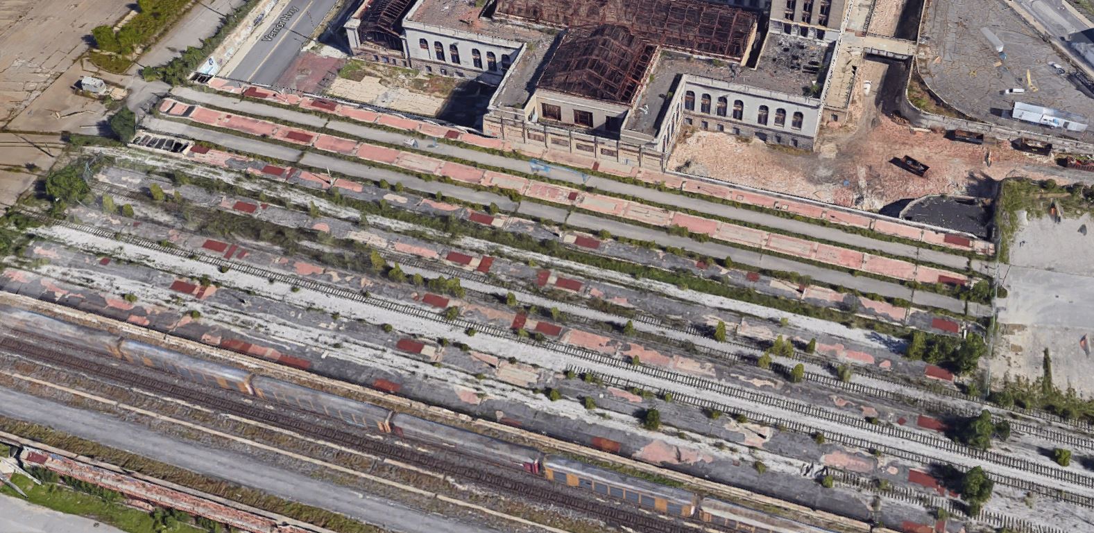
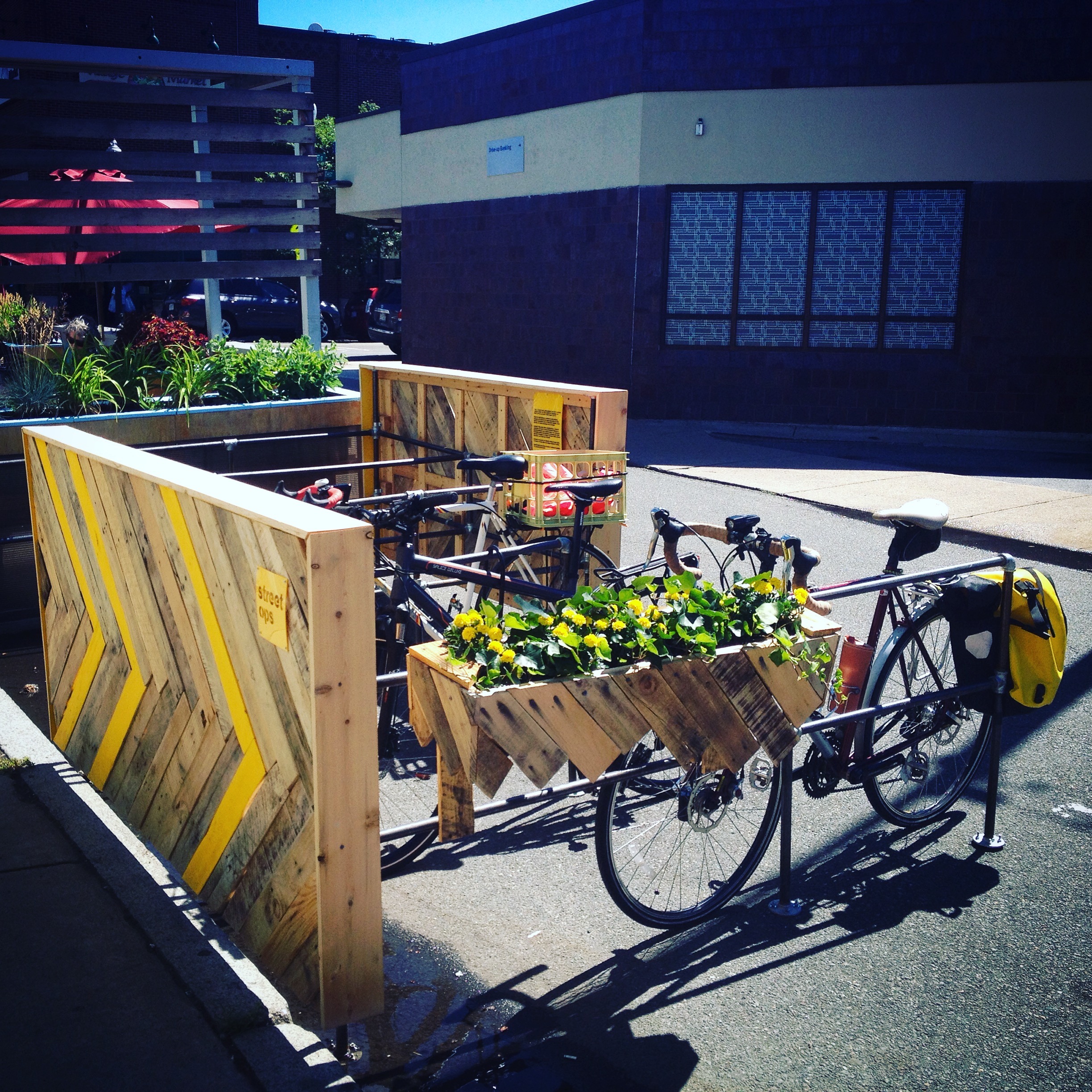
Before/current: A cold and rainy January day at the current state of the Gove Street entrance to the greenway.
Here’s our brief project narrative:
(en)gauging the water combines art, science, exploration, observation, and play. The design performs multiple functions and creates a new destination post-storm. Interactive rain gauges are built into the railing. The ramps gauge flood water, and act as a safety measure showing the water’s depth. Grates in the boardwalk allow passers-thru to peer into the landscape below and let light filter to the water-absorbing plants. A weather station installed on the light post can be a new member of CoCoRaHS (Community Collaborative Rain, Hail, and Snow Network). Visitors participate by taking pictures of the filled rain gauges and the flooded boardwalk, posting with hashtags like #weatherbridge or #(en)gaugingbridge.
This short term, tactical vision, focuses on cost-conscious, low maintenance solutions. A simple ramp is constructed out of local rot resistant wood or plastic composite. Paint enlivens Gove Street for a temporary new gathering space. The greenway planting mix is low maintenance and drought tolerant that can handle short periods of being inundated with water. The plant mix provides all-season interest and food for wildlife.
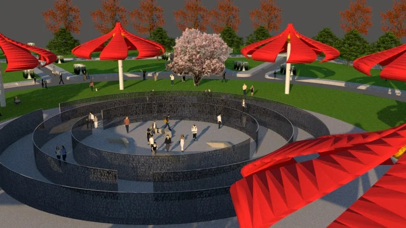
The long term, adaptable solution expands the bridge into a platform, creating a new place that encourages pop-up events like farmers’ markets, concerts, etc.
Vignette: Custom sized rain gauges made for Boston’s 2, 5, 10, 25, 50, 100 year storm events can be built into the railing. This place can become a new destination after a storm to see how everything filled up!
This project is exciting to me in a few ways - the first being that something will be built! (Note: winners have not been announced yet.) This is why I like tactical urbanism - you can see results fast! Another reason is that I’m a water and weather nerd. So to be able to think about how to combine weather science, data, art, stormwater management, landscape, architecture and placemaking in one project?! This is very exciting. And it gives me an excuse to learn about new (to me) resources and websites like the CoCoRaHS folks and NOAA folks kindly told me about where to find the rainfall amounts that define those storm events here.
Vignette: Bridge as flood gauge. As the greenway floods, the bridge can tell you how deep it is (in English and Spanish!) this both acts as a safety measure and lets the curious peer through the grate at each marking to see how the bioswale plants are doing below.
After: Bridge cross section. The path is now filled with native, water absorbing plants such as joe pye weed, little blue stem, bearded iris’, and others. The water level markers are seen marked in blue on the ramp. A weather station is mounted to the existing light pole.
Before/current greenway conditions.
The Short Term Tactical Plan proposes a simple bridge spanning the flooding gap. Painted concrete frames the main entrances to the greenway and the ramps leading to the bridge mark the water levels.
The Long Term Adaptable Plan expands the bridge into a platform for markets, concerts, outdoor classroom space and flexible gathering space. This plan anticipates new buildings on the existing parking lots (shown in blue/grey).
Here is our final board submission.
Comments? Thoughts? Would you come to see how full the rain gauges are after a storm? What else would you like to see here?